Axim Geospatial is now an NV5 company!

Learn More

Case Studies

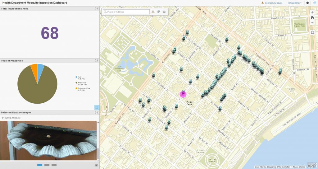
    City of New Orleans – Outbreak Surveillance and Control

    City of New Orleans – Outbreak Surveillance and Control

    Kevin Stewart | 2016

    City of New Orleans – Outbreak Surveillance and Control

    Read More
    Cultural Mapping at Aztalan State Park

    Cultural Mapping at Aztalan State Park

    Patrick Murn | 2016

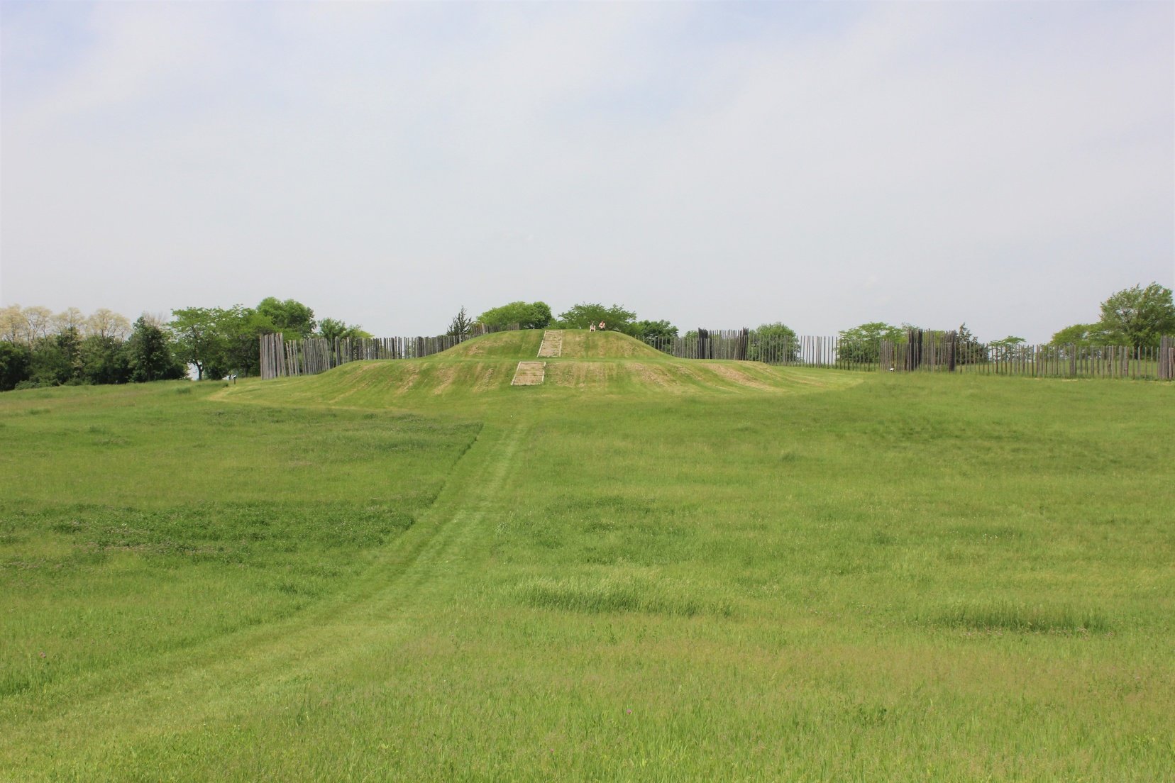
    Wisconsin DNR developed a 3D rendering of an ancient Middle-Mississippian village at Aztalan State Park with the help of aerial lidar data.

    Read More
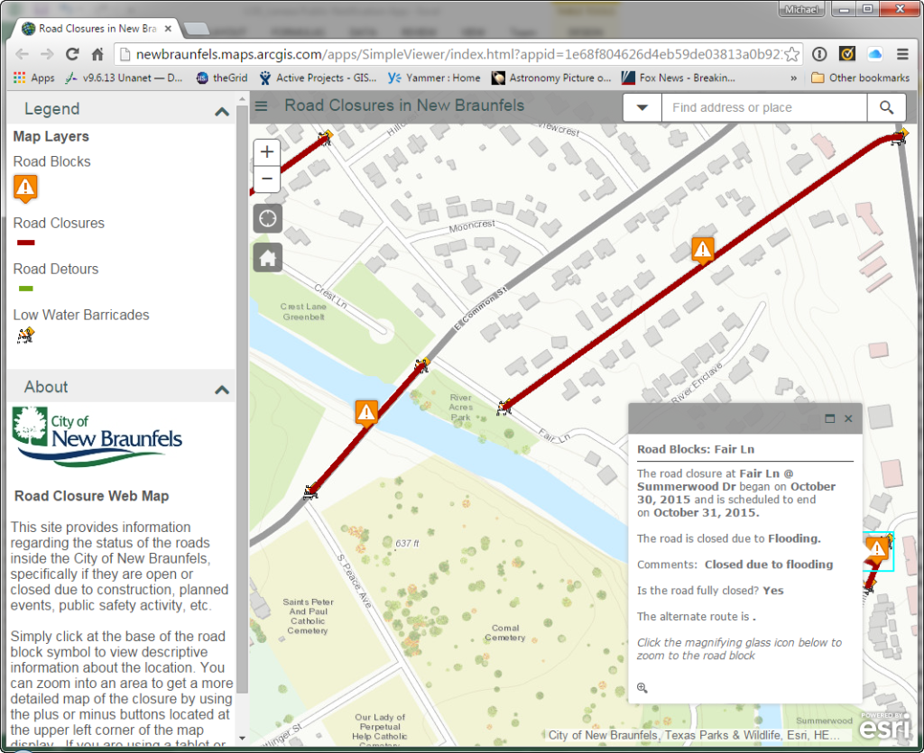
    Road Closures Application

    Road Closures Application

    Kevin Stewart | 2016

    Road Closures Application

    Read More
    Mapping US 41: From Highway to Interstate

    Mapping US 41: From Highway to Interstate

    Patrick Murn | 2015

    WisDOT changed US-41's designation from highway to interstate with the help of imagery and data collected by Axim Geospatial.

    Read More
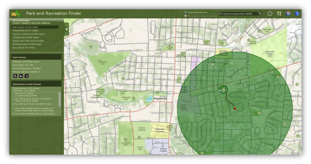
    The City of Aurora Platform Alignment and Upgrade

    The City of Aurora Platform Alignment and Upgrade

    Kevin Stewart | 2014

    The City of Aurora Platform Alignment and Upgrade

    Read More
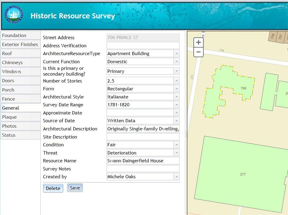
    City of Alexandria, Virginia Historic Building Survey

    City of Alexandria, Virginia Historic Building Survey

    Kevin Stewart | 2014

    City of Alexandria, Virginia Historic Building Survey

    Read More
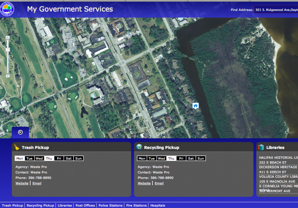
    The City of Daytona Beach Gets an ArcGIS Online Jumpstart

    The City of Daytona Beach Gets an ArcGIS Online Jumpstart

    Kevin Stewart | 2014

    The City of Daytona Beach Gets an ArcGIS Online Jumpstart

    Read More
    Simplifying GIS Implementation and Adoption through ArcGIS for Local Government

    Simplifying GIS Implementation and Adoption through ArcGIS for Local Government

    Kevin Stewart | 2014

    Simplifying GIS Implementation and Adoption through ArcGIS for Local Government

    Read More
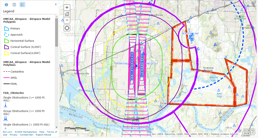
    Port of Huntsville Alabama

    Port of Huntsville Alabama

    Kevin Stewart | 2014

    Port of Huntsville Alabama

    Read More
    Town of Greenville, WI Goes from Desktop to Online in a Week

    Town of Greenville, WI Goes from Desktop to Online in a Week

    Kevin Stewart | 2014

    Town of Greenville, WI Goes from Desktop to Online in a Week

    Read More
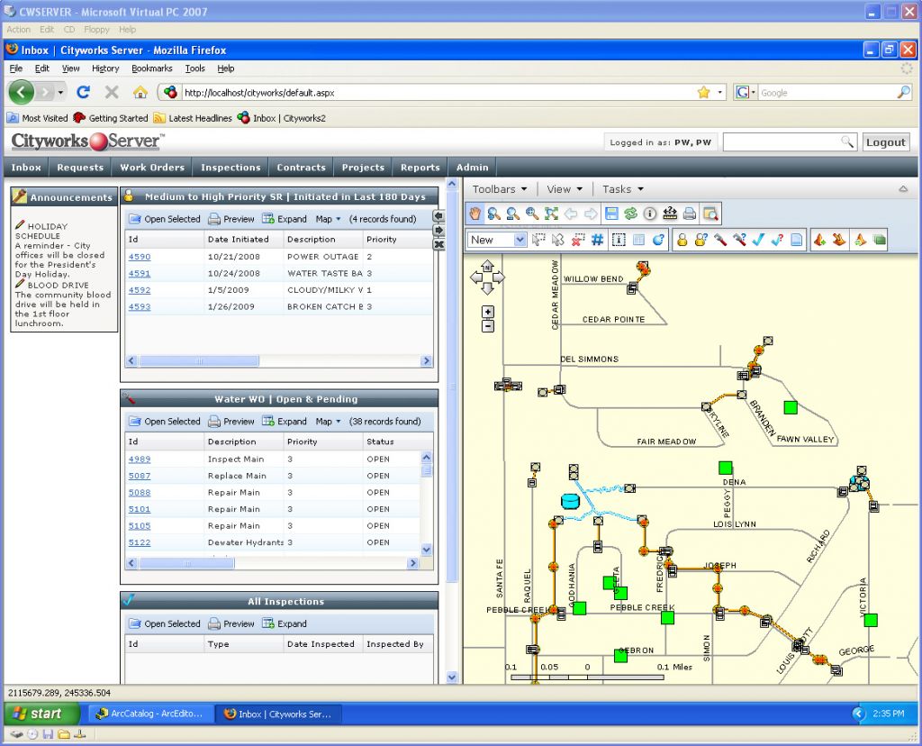
    Cityworks for Oakland County, MI

    Cityworks for Oakland County, MI

    Kevin Stewart | 2013

    [Axim Geospatial] has been providing staff augmentation services to the County of Oakland, MI since 2008. This ongoing relationship started with a single onsite resource to manage a data conversion project.

    Read More
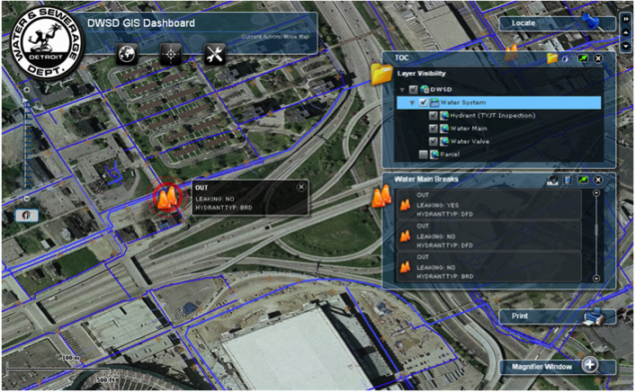
    Web Based GIS Operation Dashboard

    Web Based GIS Operation Dashboard

    Kevin Stewart | 2013

    Web Based GIS Operation Dashboard

    Read More
    User Needs Assessment and GIS Road Map

    User Needs Assessment and GIS Road Map

    Kevin Stewart | 2013

    User Needs Assessment and GIS Road Map

    Read More
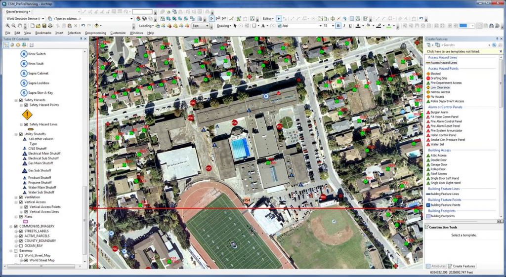
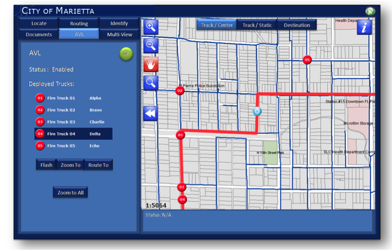
    GIS Fire Mobile Solution

    GIS Fire Mobile Solution

    Kevin Stewart | 2013

    GIS Fire Mobile Solution

    Read More