Axim Geospatial is now an NV5 company!

Learn More

Case Studies

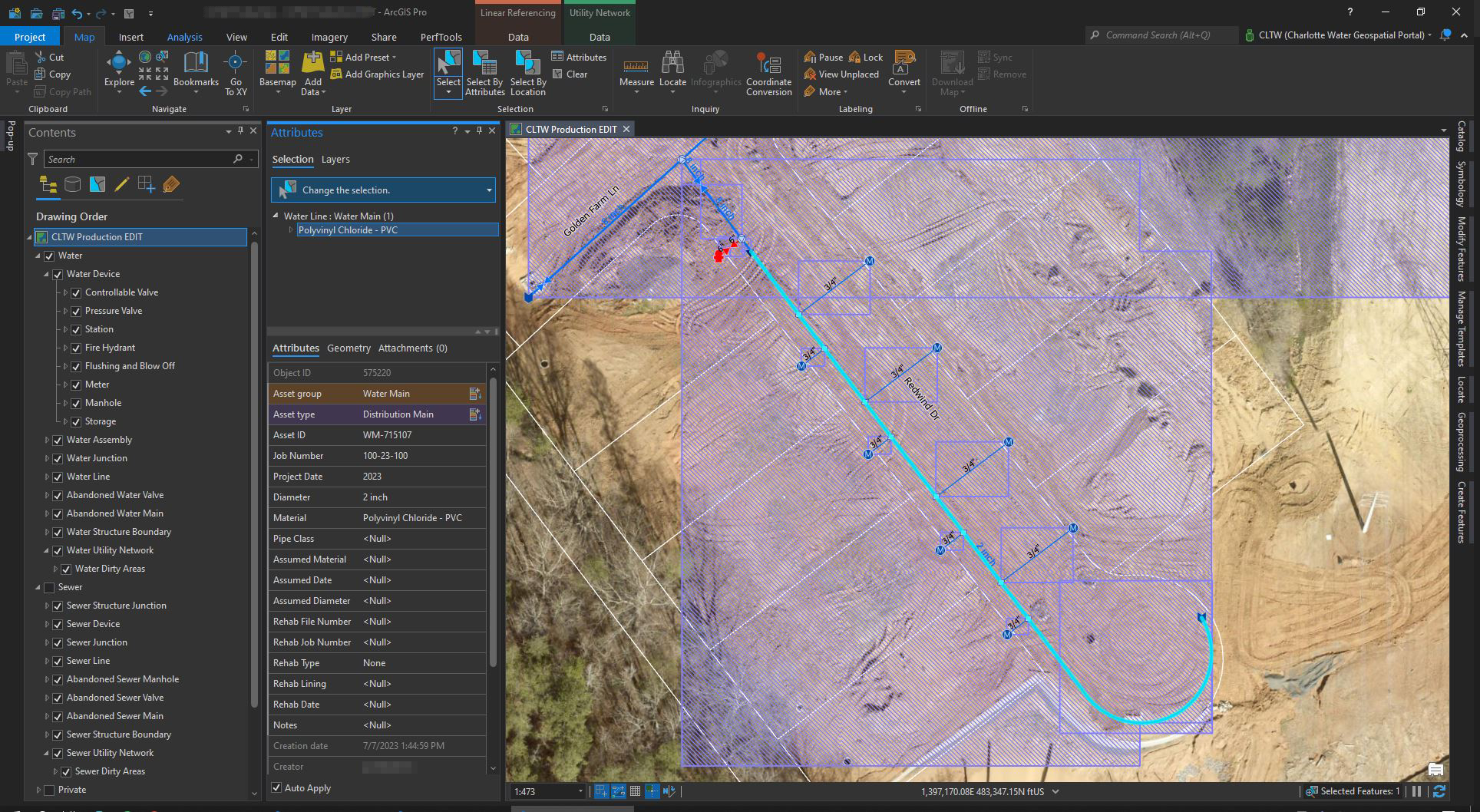
    How Charlotte Water Successfully Transitioned from Geometric Network to ArcGIS Utility Network

    How Charlotte Water Successfully Transitioned from Geometric Network to ArcGIS Utility Network

    Patrick Murn | 2023

    Find out how Charlotte Water transitioned from the geometric network to ArcGIS Utility Network, gaining new functionality to better serve its customers.

    Read More
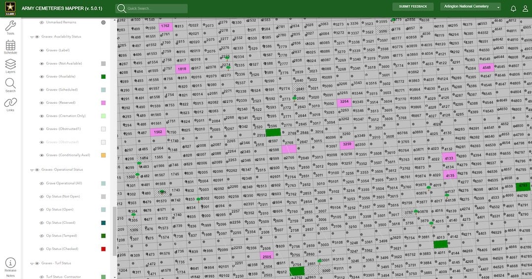
    How Arlington National Cemetery Improved Visitor Experience and Functionality with Cloud Migration

    How Arlington National Cemetery Improved Visitor Experience and Functionality with Cloud Migration

    Sean Kyzar | 2023

    With app demand growing, Arlington National Cemetery needed to migrate to the cloud. Here’s how Axim Geospatial helped make the transition a success.

    Read More
    Energy Management Solution

    Energy Management Solution

    Kevin Stewart | 2022

    The system provides Navy leadership visibility on energy consumption at the facility, installation, region, and worldwide scale.

    Read More

    Navy Enterprise GIS Development and System Support

    Patrick Murn | 2022

    Navy Enterprise GIS Development and System Support

    Read More
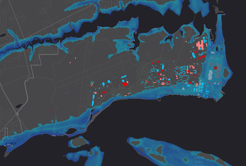
    Flood Inundation Surge Hazard Application

    Flood Inundation Surge Hazard Application

    Patrick Murn | 2022

    Flood Inundation Surge Hazard Application

    Read More
    GIS Maintenance & Sustainment for the US Navy

    GIS Maintenance & Sustainment for the US Navy

    Patrick Murn | 2022

    GIS Maintenance & Sustainment

    Read More
    How the City of Hastings Transitioned to ArcGIS Utility Network Despite COVID-19 Restrictions, Limited Resources, & More

    How the City of Hastings Transitioned to ArcGIS Utility Network Despite COVID-19 Restrictions, Limited Resources, & More

    Emerson Chew | 2022

    The City of Hastings ran into some challenges along the way that threatened their transition to the ArcGIS Utility Network. Here is how they overcame them.

    Read More
    How Roanoke County, VA Optimized Efficiency Using Cityworks

    How Roanoke County, VA Optimized Efficiency Using Cityworks

    Thomas Wilson | 2021

    Find out how Cityworks helped the Community Development Department at Roanoke County improve user experience, maximize efficiency, and achieve their mission.

    Read More
    Tennessee From The Air: Aerial Orthophotography For Tennessee DOT

    Tennessee From The Air: Aerial Orthophotography For Tennessee DOT

    Patrick Murn | 2021

    The Tennessee Department of Transportation tasked [Axim Geospatial] with collecting and delivering over 10,000 square miles of orthophotography data to update the Tennessee Base Mapping Program (TNBMP) online database. Hear the whole story here.

    Read More
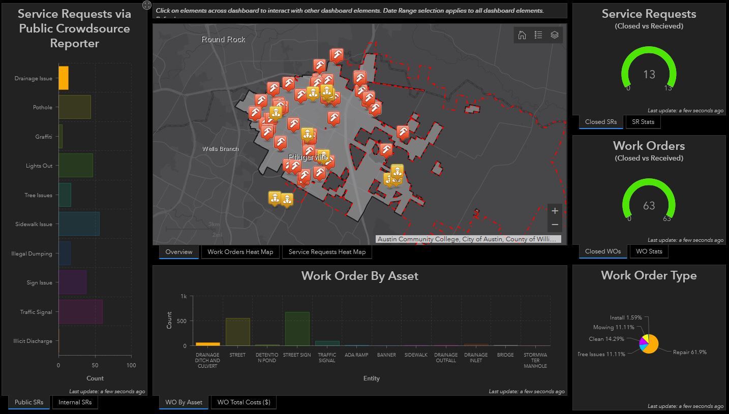
    How the City of Pflugerville Adopted Cityworks AMS in Just 10 Weeks

    How the City of Pflugerville Adopted Cityworks AMS in Just 10 Weeks

    Kelly Farley | 2021

    Switching to a new AMS can be overwhelming. These 6 steps allowed the City of Pflugerville to get up and running with Cityworks in just 10 weeks without delays.

    Read More
    How Cityworks Propelled The City of Carmel’s Data to the Modern Era

    How Cityworks Propelled The City of Carmel’s Data to the Modern Era

    Thomas Wilson | 2021

    To transfer decades of permitting data into Cityworks PLL, the City of Carmel followed this 4-step process that ensured nothing fell through the cracks.

    Read More
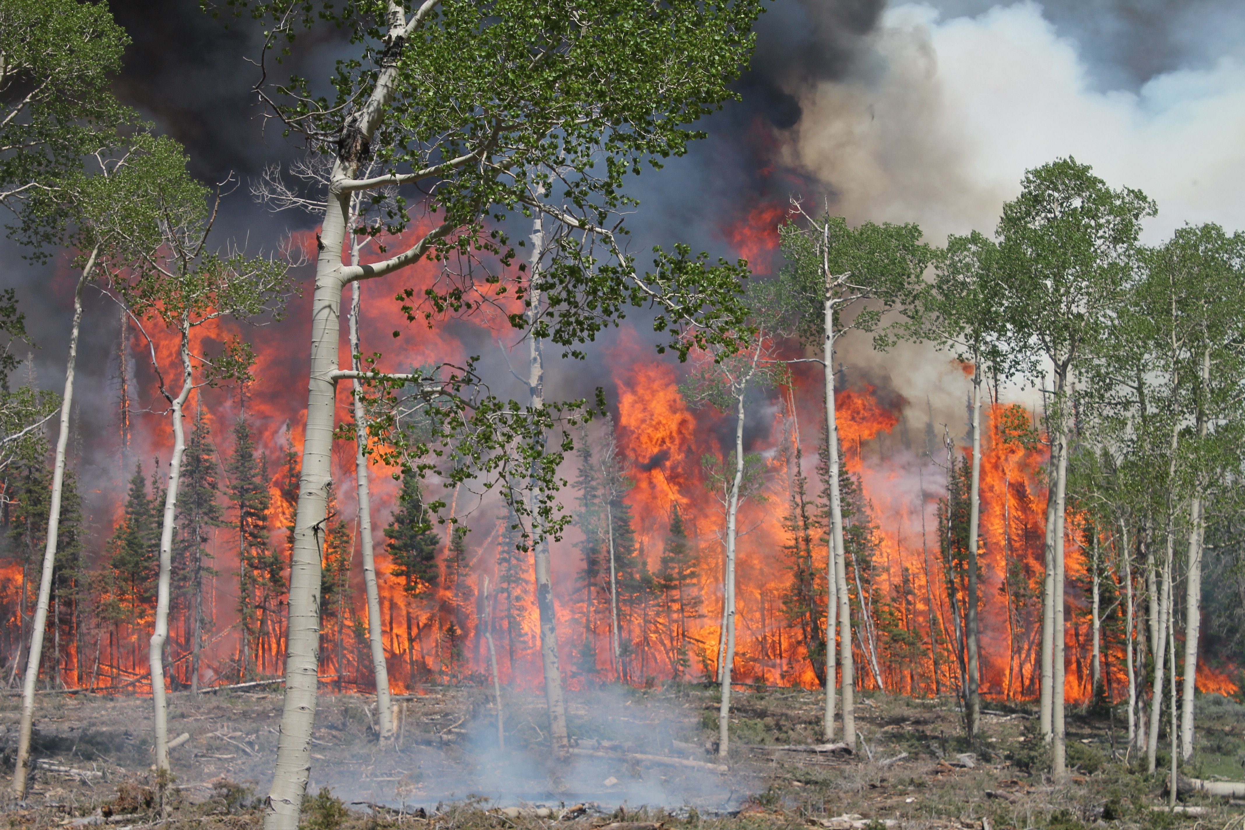
    Studying Wildfire Risk With Lidar – US Forest Service

    Studying Wildfire Risk With Lidar – US Forest Service

    Patrick Murn | 2021

    The US Forest Service is utilizing lidar and geospatial data from [Axim Geospatial] to study wildfire risk and smoke patterns.

    Read More
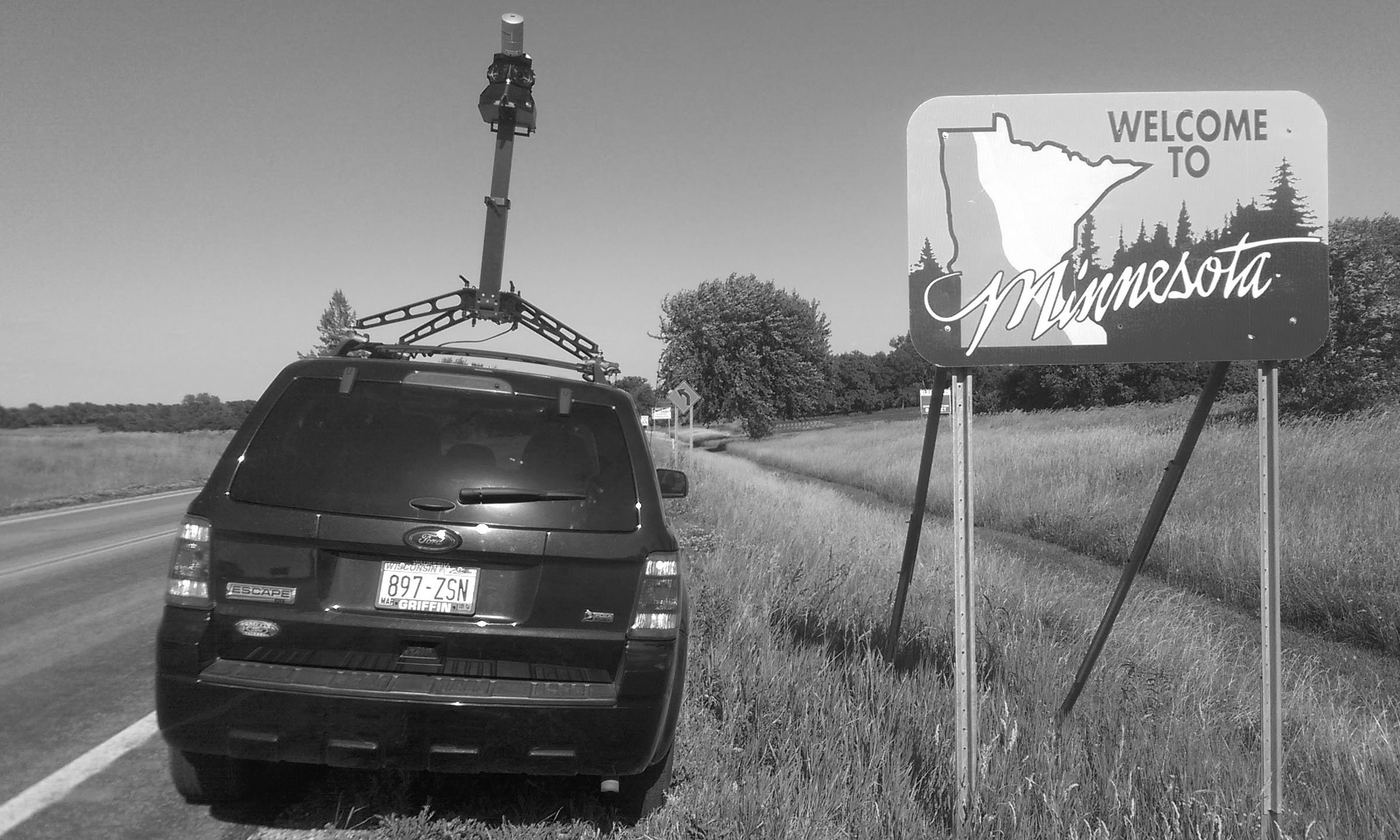
    Statewide Asset Inventory & Assessment For MnDOT

    Statewide Asset Inventory & Assessment For MnDOT

    Patrick Murn | 2021

    Minnesota Department of Transportation (MnDOT) commissioned [Axim Geospatial] to complete a statewide inventory of end terminals along its roadways to locate, inspect, identify and replace the infringing assets. The Barrier End Terminal Inventory and Assessment (BETIA) original project scope defined 6 end terminal-related assets. MnDOT wished to capitalize on the effort by compiling a comprehensive inventory of 13 additional transportation assets within its right-of-way to support other business needs.

    Read More
    Soaking Up The Sun In Texas – Aerial Mapping For Solar Farms

    Soaking Up The Sun In Texas – Aerial Mapping For Solar Farms

    Patrick Murn | 2021

    Renewable energy developers in Texas used aerial lidar and ortho imagery to understand conditions for future solar farm engineering projects.

    Read More
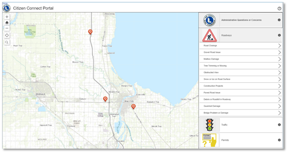
    Road Commission Leverages Cityworks and Esri for Asset Management and Citizen Engagement

    Road Commission Leverages Cityworks and Esri for Asset Management and Citizen Engagement

    Thomas Wilson | 2020

    The Bay County Road Commission maintained its asset inventory in a variety of GIS systems. When they began looking for an asset management system to track work, Cityworks AMS seemed like a natural fit. Combined with Esri’s Citizen Problem Reporter app, the two systems would meet all requirements of the Road Commissions’ objectives while leveraging their internal expertise and Esri licensing.

    Read More
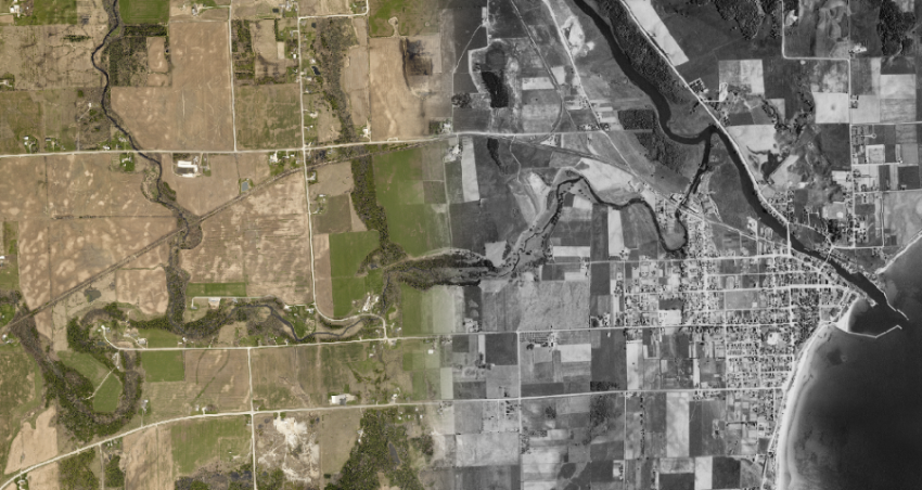
    Kewaunee County Brings 80+ Year Old Data To The Digital Present

    Kewaunee County Brings 80+ Year Old Data To The Digital Present

    Patrick Murn | 2020

    Kewaunee County, WI brought 80 year old aerial imagery into the present by digitizing and uploading to an online, publicly-accessible GIS portal.

    Read More
    Duluth, MN “Can Of Worms” Interchange Redesign

    Duluth, MN “Can Of Worms” Interchange Redesign

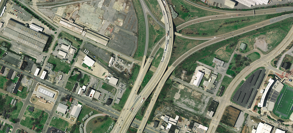
    Patrick Murn | 2020

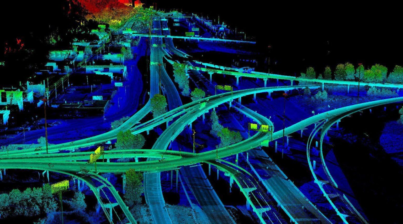
    MnDOT planned the re-design and construction of the I-35/Highway 53 interchange with survey-grade mobile data collected by [Axim Geospatial].

    Read More
    Mapping To Support Restoring Citrus Groves Through NRCS Program

    Mapping To Support Restoring Citrus Groves Through NRCS Program

    Patrick Murn | 2020

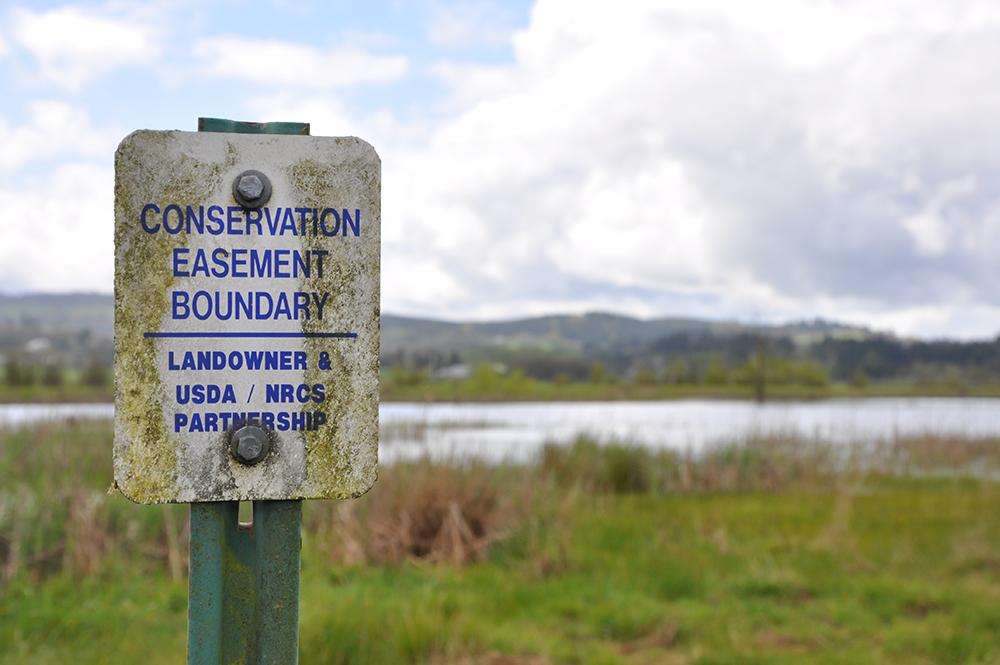
    NRCS is using GIS solutions like point cloud lidar data to support restoration of citrus groves and wetlands in Florida.

    Read More
    Missouri River – Lidar Mapping To Support Flood Management

    Missouri River – Lidar Mapping To Support Flood Management

    Patrick Murn | 2020

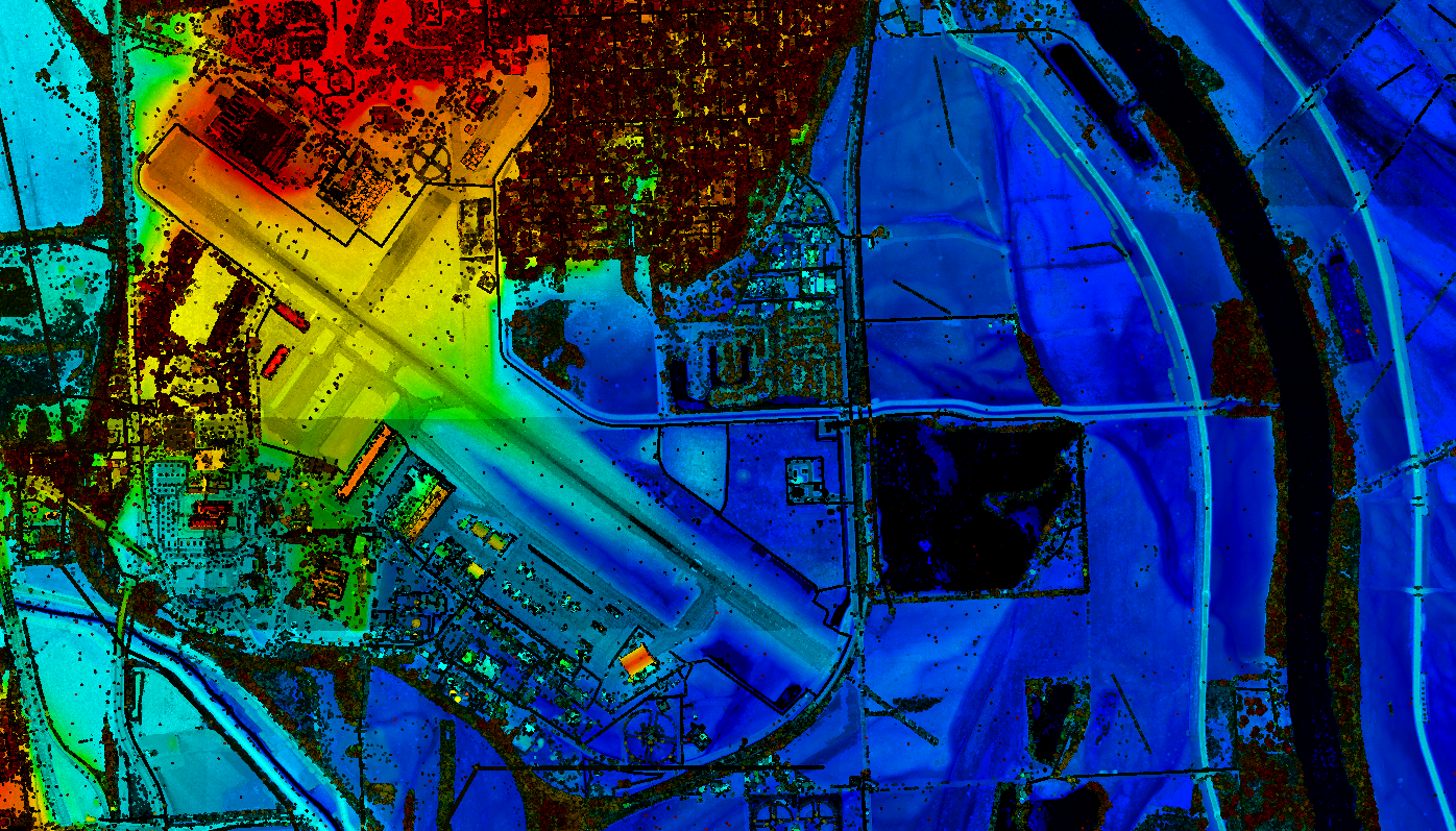
    USACE - Omaha District utilized aerial lidar to monitor levee conditions along the Missouri River in order to mitigate flood damage across communities.

    Read More
    Waste Services Company in Canada Stays Up to Date with ArcGIS

    Waste Services Company in Canada Stays Up to Date with ArcGIS

    Shannon Prather | 2020

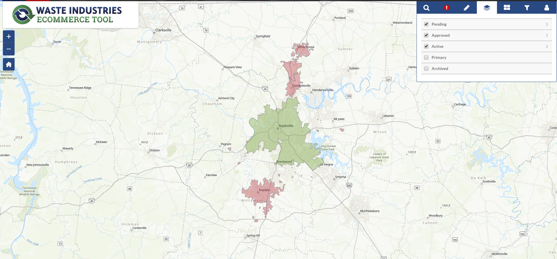
    To stay on top of Esri's offerings and keep the ArcGIS platform at the core of its operations and workflows, GFL Environmental has partnered with [Axim Geospatial] for nearly a decade, taking advantage of many of its premier GIS services.

    Read More