This article was written regarding work conducted under legacy company names: Continental Mapping, GISinc, or TSG Solutions. These three companies merged in January 2021 to form a new geospatial leader Axim Geospatial.
Overview
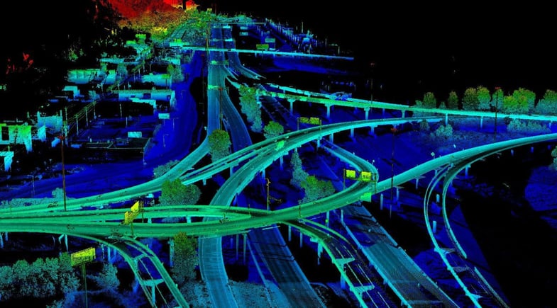
The I-35/Highway 53 interchange in Duluth, MN (known locally as the “Can of Worms”) is one of the busiest in the region with over 72,200 vehicles/day and intense congestion given the volume of traffic from commuters and the shipping activities of the Duluth Port Terminal. This project was the survey-grade mapping needed to begin the process of a $240M re-design and construction project.
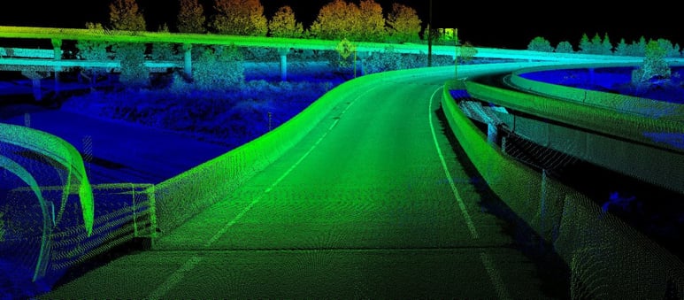
Axim Geospatial was called upon by the Minnesota DOT to provide high-accuracy mapping for this project. To optimize efficiency and modeling quality, Axim performed a complex data fusion project that included both survey-grade mobile and helicopter lidar. The mobile lidar provided a survey-grade model of the road surface, while the helicopter aerial lidar and imagery provided orthophotography and a highly accurate surface for the right-of-way.


The mobile lidar was used to form a digital terrain model for the roadway. Breaklines were manually extracted from the lidar, much as in photogrammetry, to enhance the model’s accuracy. The helicopter lidar was used to provide a digital terrain model for the area off of the road edge. Its mission also provided orthophotography. The project resulted in a high accuracy digital terrain model (within 0.10’ on hard surfaces) that provided information instrumental to MnDOT engineers as they tackle the design and construction of a new interchange.