Patrick Murn | January 5, 2022
Axim Geospatial’s mission is to use our expertise to provide clarity and solutions to help our clients solve the world’s toughest problems.
Read More
Colin Johnson | October 28, 2021
Get a summary of the 2021 Esri Imagery Summit in this VLOG from Axim's Colin Johson and Chris Blinn.
Read More
Patrick Murn | November 23, 2020
Kevin Hope reflects on the geospatial industry, from his history to the future of GIS.
Read More
Paul Braun | July 24, 2020
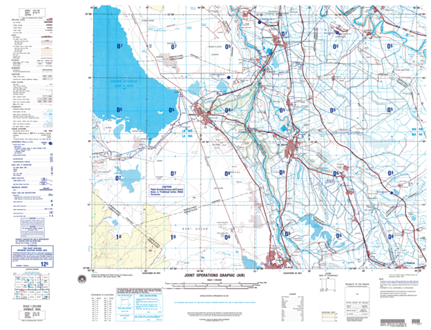
We break down all things cartography at GISinc and Continental Mapping.
Read More
Shannon Prather | May 1, 2020
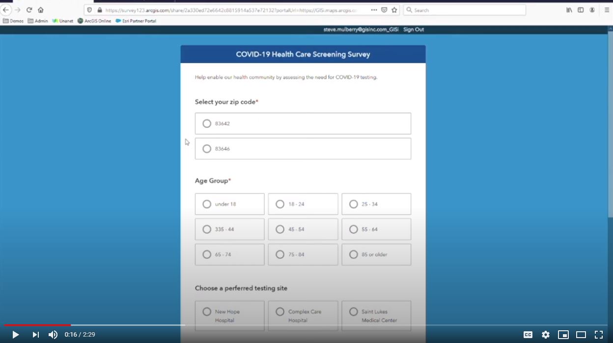
See how Survey123 and Esri's Operations Dashboard can capture and display data so responders can quickly access the need for COVID-19 testing centers.
Read More
Patrick Murn | March 20, 2020
Understand the latest vehicle policy report on Automated Vehicles 4.0 from the United States Department of Transportation.
Read More
Patrick Murn | July 23, 2019
5G is the future of communication networks, and geospatial data is helping expand these networks.
Read More
Patrick Murn | June 4, 2019
Autonomous and automated vehicles require data to function safely and efficiently.
Read More
Patrick Murn | March 4, 2019
Read about how 5G will be the backbone that will enable autonomous vehicles, smart cities, and the internet of things (IoT).
Read More
Patrick Murn | March 4, 2019
OpenDRIVE is the basemapping program that’s pushing autonomous vehicles into the future of efficiency.
Read More
Patrick Murn | February 4, 2019
Here are 5 challenges of traffic control standardization to develop autonomous-ready roadways.
Read More
Patrick Murn | January 19, 2019
5G is heading to rural areas; learn about the challenges and latest updates.
Read More
Paul Braun | October 9, 2018
AI can help the GIS industry create algorithms ranging from feature identification to analytics.
Read More
Patrick Murn | February 1, 2018
Learn about how AI is already impacting the geospatial industry and beyond.
Read More


