Steve Mulberry | April 10, 2023
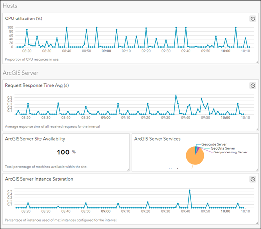
Explore the ways ArcGIS can enhance integration, collaboration, and workflows.
Read More
Tobey Kane-Seitz | March 29, 2023
Improve your utility network modeling with ArcGIS attribute rules for manhole configuration. Create manhole channel & pipe connection points for full traceability.
Read More
Shannon Prather | May 5, 2022
Axim Geospatial, Esri, and Harry Reid International Airport hosted a webinar last week on Indoor Mapping, ArcGIS Indoors, and IPS. Watch the recording OnDemand and browse the Q&A from our attendees and panelists!
Read More
Patrick Murn | May 5, 2022
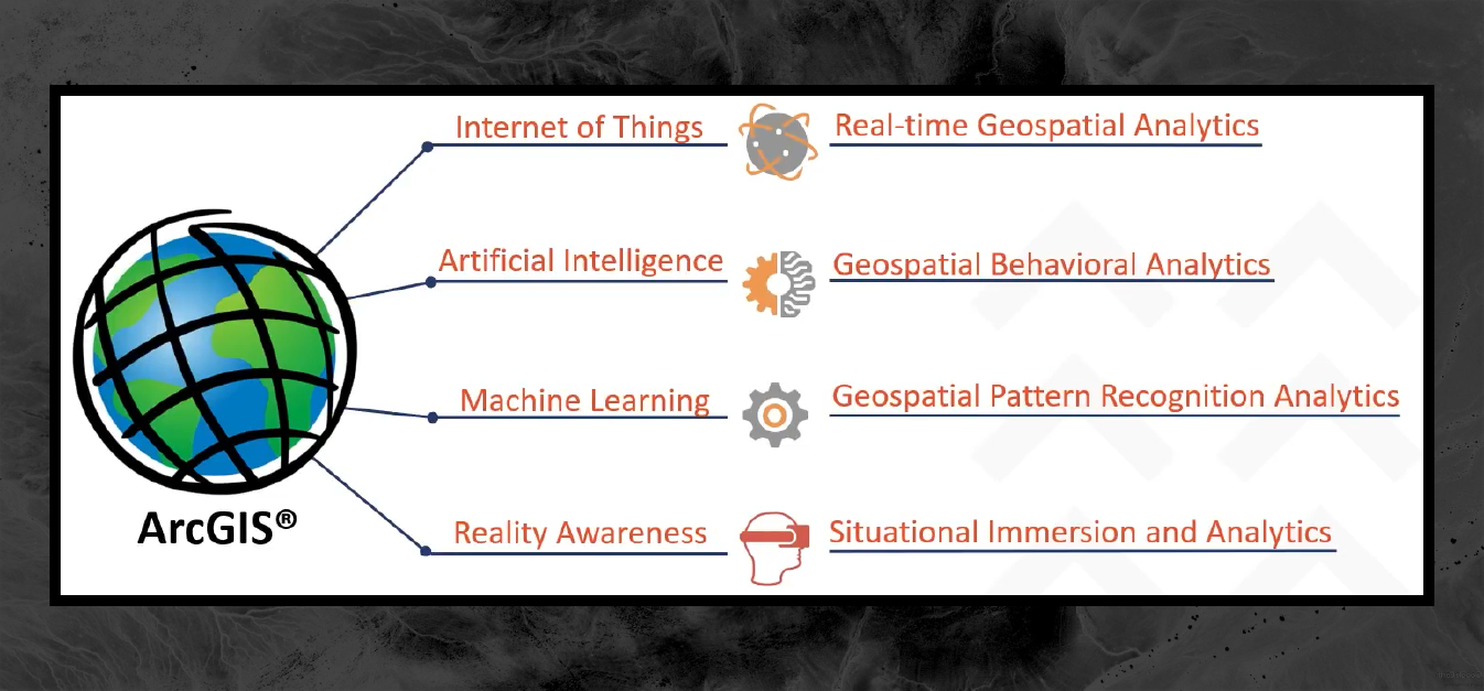
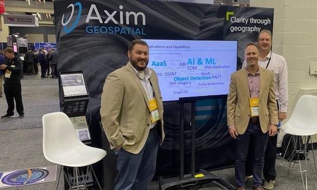
Axim was extremely proud to have two of our incredibly talented employees selected as Golden Ticket winners attend this year: Andy Courtney and Emma Green. We asked them each for their top five takeaways from their experience at GEOINT as Golden Ticket winners. Keep reading to see what most stood out to them.
Read More
Paul Braun | February 17, 2022
Resilience is commonly defined as the ability to prepare for and adapt to changing conditions and withstand and recover rapidly from disruptions. It includes the ability to withstand and recover from deliberate attacks, accidents, or naturally occurring threats or incidents.
Read More
Sasha Lockamy | January 27, 2022
Learn how to pre-populate data in a secondary survey with data entry from the first survey in Survey 123.
Read More
Patrick Murn | January 5, 2022
Axim Geospatial’s mission is to use our expertise to provide clarity and solutions to help our clients solve the world’s toughest problems.
Read More
Colin Johnson | October 28, 2021
Get a summary of the 2021 Esri Imagery Summit in this VLOG from Axim's Colin Johson and Chris Blinn.
Read More
Patrick Murn | October 18, 2021
Axim Geospatial's support blocks offer clients a flexible, managed block of time that they can tap into for all sorts of purposes when they need any assistance.
Read More
Kelly Bigley | August 31, 2021
Axim Geospatial's support blocks offer clients a flexible, managed block of time that they can tap into for all sorts of purposes when they need any assistance.
Read More
Patrick Murn | November 23, 2020
Kevin Hope reflects on the geospatial industry, from his history to the future of GIS.
Read More
Paul Braun | July 24, 2020
We break down all things cartography at GISinc and Continental Mapping.
Read More


