Shannon Prather | May 1, 2020
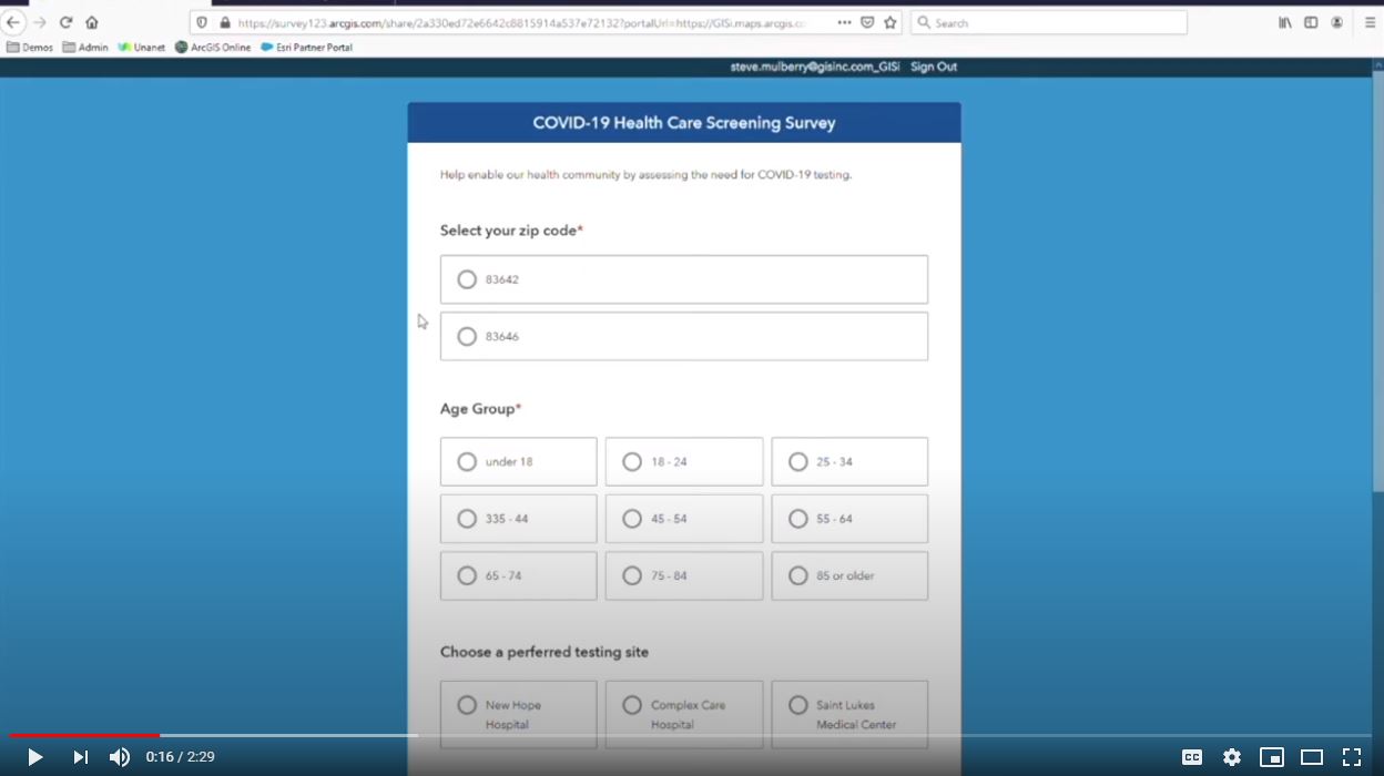
See how Survey123 and Esri's Operations Dashboard can capture and display data so responders can quickly access the need for COVID-19 testing centers.
Read More
Shannon Prather | April 24, 2020
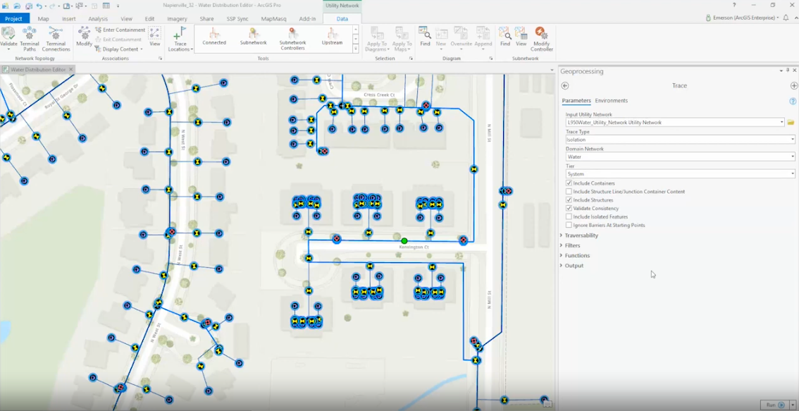
The following project approach is Axim's recommended and proven strategy for implementing Esri's ArcGIS Utility Network.
Read More
Shannon Prather | April 20, 2020
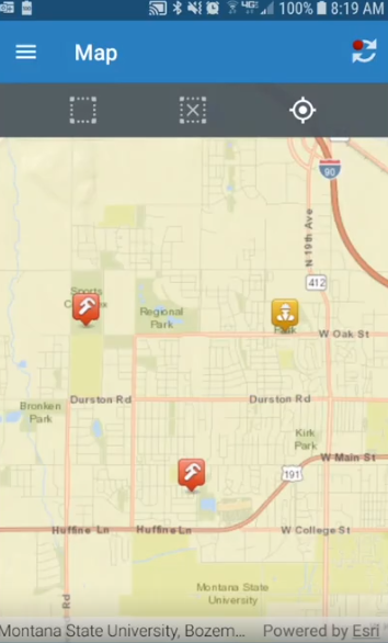
If you need field asset and work order management, but data collection requirements cause a disconnected environment, consider the Cityworks Mobile App.
Read More
Shannon Prather | April 20, 2020
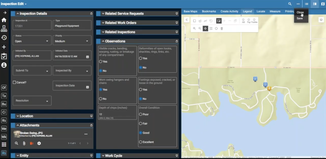
Need asset and work order management information access anywhere, anytime? You're a perfect candidate for Cityworks Respond. Learn more in this VLOG.
Read More
Shannon Prather | April 16, 2020
Why should you consider moving from the Geometric Network to Esri's ArcGIS Utility Network? Our experts discuss 3 reasons you should keep in mind.
Read More
Rod Erickson | April 14, 2020
Military Installations are beginning to research and develop Smart Military Base capabilities and concepts following maturing examples of Smart Cities.
Read More
Shannon Prather | March 30, 2020
Over the past few weeks, many of you have likely migrated to working from a home office or lack thereof due to the COVID-19 social distancing guidelines. As we adjust to this new normal of remote work—at least for the month of April—I'd like to share some great advice from our experienced telecommuting team.
Read More
Steve Mulberry | March 20, 2020
DevSummit 2020 - Learn what you missed in the Plenary and stay tuned for all technical sessions and workshops as either recorded sessions, live webinars or MOOCs.
Read More
Steve Mulberry | February 26, 2020
Esri has published an ArcGIS 10.8 Quick Start Guide on their website, but Axim wanted to give you or list of the 8 coolest things to know regarding the new version.
Read More
Anthony Scardino | April 16, 2019
What is GIS? GIS is an acronym for Geographic Information Systems. But to understand, we need to know GIS isn’t just a map. GIS solves problems geospatially.
Read More
Shannon Prather | March 8, 2019
Glenn started the Esri DevSummit Keynote asking the question "Is Software Engineering Really Engineering?" He dove into the debate between traditional Engineers, how they define their industry and what they do to establish credibility as Engineers.
Read More


