Axim Geospatial is now an NV5 company!

Learn More

Blog

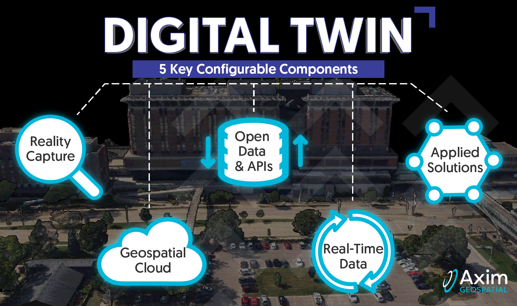
A Deeper Dive into the 5 Pillars of Digital Twin: Real-Time Data

A Deeper Dive into the 5 Pillars of Digital Twin: Real-Time Data

Pete Briere | February 14, 2023

Axim explores the roots of Digital Twins, as well as the core configurable components that comprise a Digital Twin.

Read More
A Deeper Dive into the 5 Pillars of Digital Twin: Open Data & APIs

A Deeper Dive into the 5 Pillars of Digital Twin: Open Data & APIs

Pete Briere | February 6, 2023

Axim explores the roots of Digital Twins, as well as the core configurable components that comprise a Digital Twin.

Read More
A Deeper Dive into the 5 Pillars of Digital Twin: Geospatial Cloud

A Deeper Dive into the 5 Pillars of Digital Twin: Geospatial Cloud

Pete Briere | January 24, 2023

Axim explores the roots of Digital Twins, as well as the core configurable components that comprise a Digital Twin.

Read More
A Deeper Dive into the 5 Pillars of Digital Twin: Reality Capture

A Deeper Dive into the 5 Pillars of Digital Twin: Reality Capture

Pete Briere | December 16, 2022

Axim explores the roots of Digital Twins, as well as the core configurable components that comprise a Digital Twin.

Read More
Utility Network Webinar - Q&A

Utility Network Webinar - Q&A

Michael Parma | October 7, 2022

Axim's ArcGIS Utility Network experts answer questions submitted during our recent UN webinar.

Read More
Digital Twins and Geospatial: An Introduction

Digital Twins and Geospatial: An Introduction

Kevin Stewart | October 5, 2022

Axim explores the roots of Digital Twins, as well as the core configurable components that comprise a Digital Twin.

Read More
Women in GIS: Kristina Bechtold

Women in GIS: Kristina Bechtold

Amanda Sommerer | August 25, 2022

Meet Axim's Kristina Bechtold and learn about her journey in GIS.

Read More
Women in GIS: Amanda Sommerer

Women in GIS: Amanda Sommerer

Kady Nolte | July 26, 2022

Meet Axim's Amanda Sommerer and learn about her journey in GIS.

Read More
Axim Comprehensive Geospatial Capabilities

Axim Comprehensive Geospatial Capabilities

Patrick Murn | January 5, 2022

Axim Geospatial’s mission is to use our expertise to provide clarity and solutions to help our clients solve the world’s toughest problems.

Read More
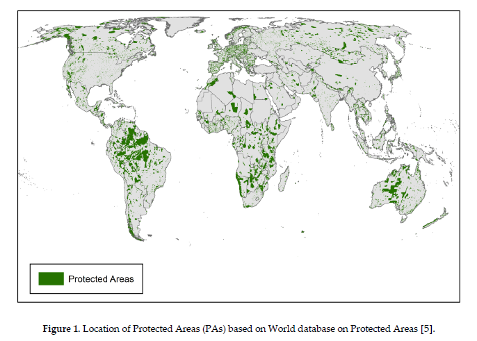
Exploring Threats to Global Forests with GIS

Exploring Threats to Global Forests with GIS

Rachel Maynard | June 11, 2020

Using global land cover data, raster analysis, GIS tools, and data visualization, this research answers the question: What is threatening global forests? 

Read More