Patrick Murn | March 10, 2023
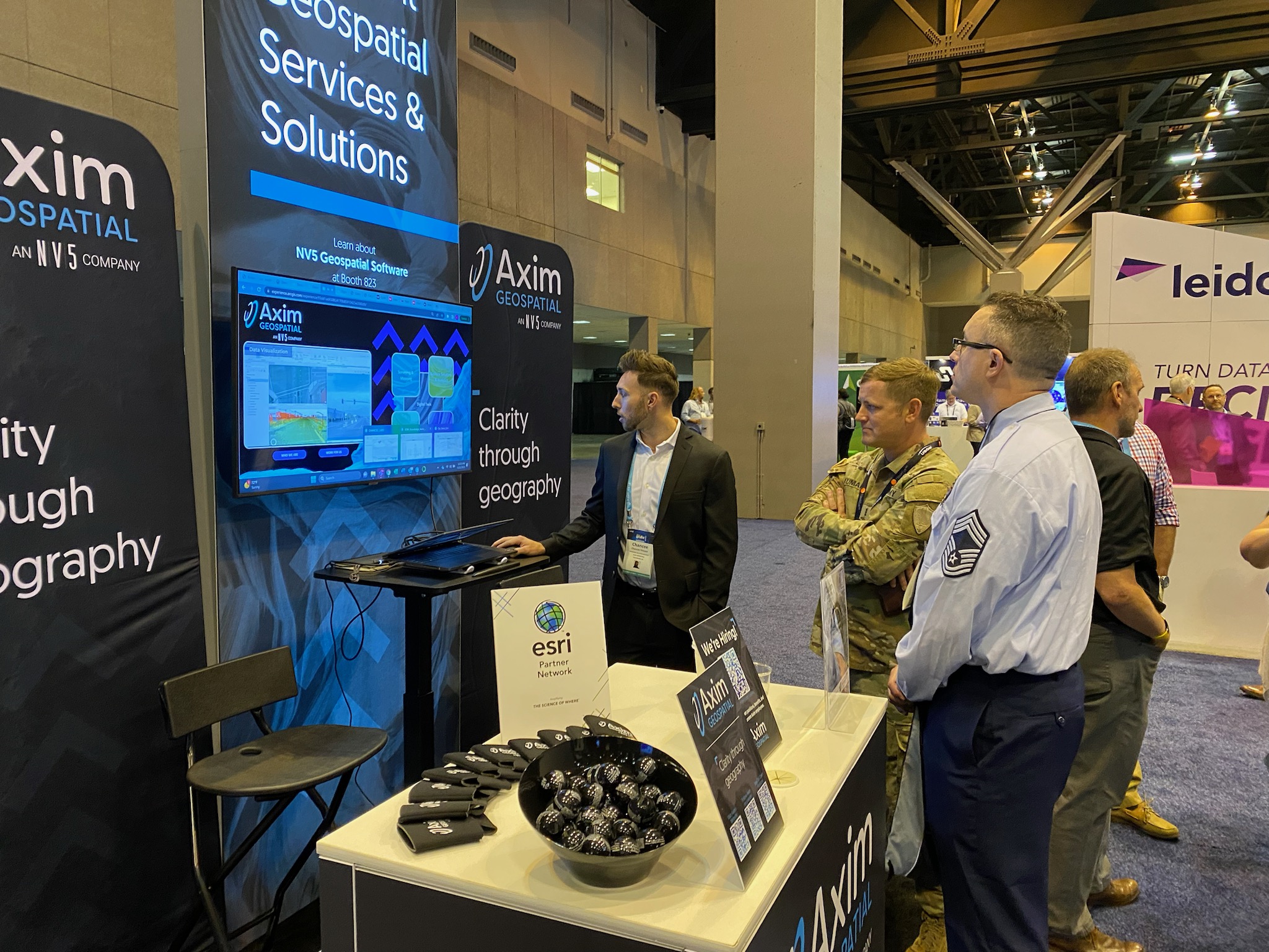
Yesterday kicked off Day 3 of the 2023 Esri DevSummit. The Axim team has summarized what you might have missed - take a look!
Read More
Patrick Murn | March 9, 2023
Yesterday kicked off Day 2 of the 2023 Esri DevSummit. The Axim team has summarized what you might have missed - take a look!
Read More
Patrick Murn | March 8, 2023
Yesterday kicked off Day 1 of the 2023 Esri DevSummit. The Axim team has summarized what you might have missed - take a look!
Read More
Pete Briere | February 27, 2023
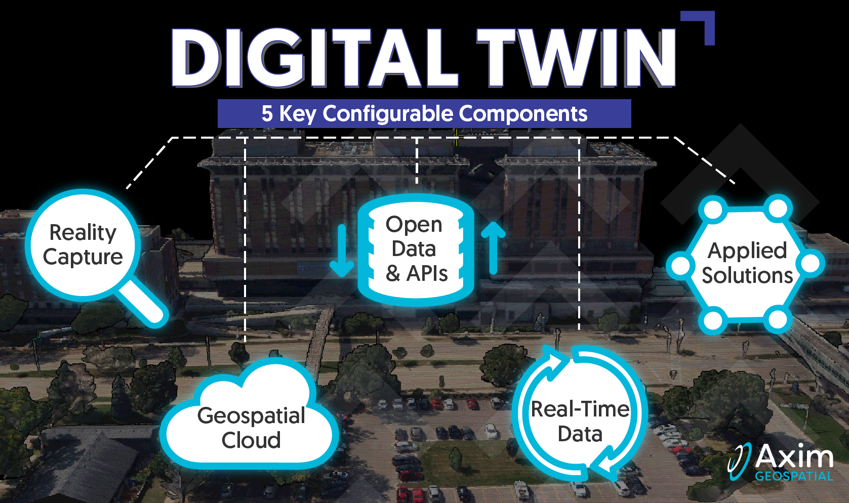
Axim explores the roots of Digital Twins, as well as the core configurable components that comprise a Digital Twin.
Read More
Pete Briere | February 14, 2023
Axim explores the roots of Digital Twins, as well as the core configurable components that comprise a Digital Twin.
Read More
Pete Briere | February 6, 2023
Axim explores the roots of Digital Twins, as well as the core configurable components that comprise a Digital Twin.
Read More
Pete Briere | January 24, 2023
Axim explores the roots of Digital Twins, as well as the core configurable components that comprise a Digital Twin.
Read More
Pete Briere | December 16, 2022
Axim explores the roots of Digital Twins, as well as the core configurable components that comprise a Digital Twin.
Read More
Kevin Stewart | October 5, 2022
Axim explores the roots of Digital Twins, as well as the core configurable components that comprise a Digital Twin.
Read More
Dan Frye | April 20, 2022
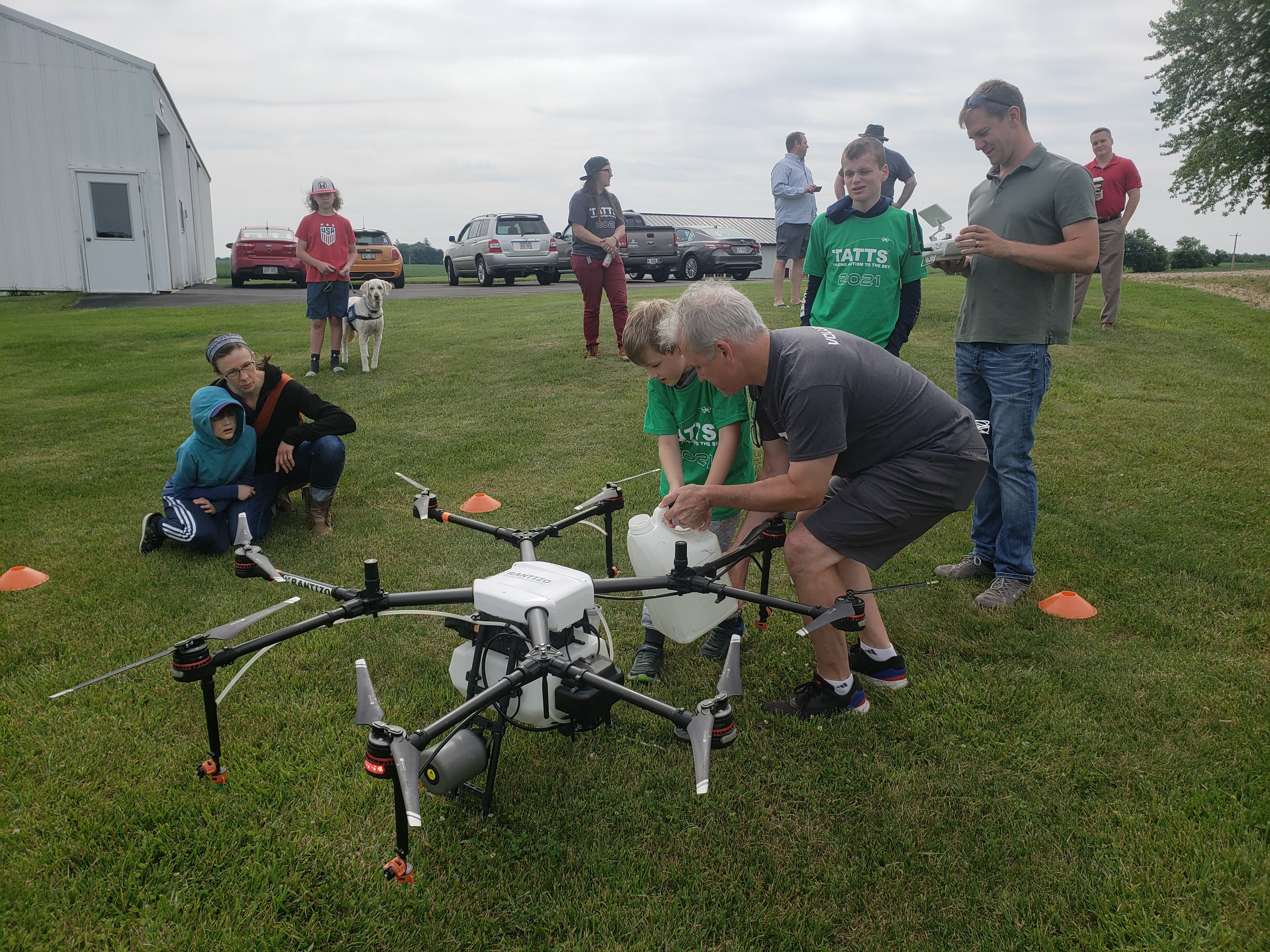
Taking Autism to the Sky (TATTS) is a volunteer-run, award-winning, non-profit organization founded by Axim Geospatial's VP of Sales and Marketing, Paul Braun. Founded in 2012 in Maidson, WI, TATTS leverages drones to develop social and employment skills for autistic individuals.
Read More
Thomas Wilson | March 18, 2022
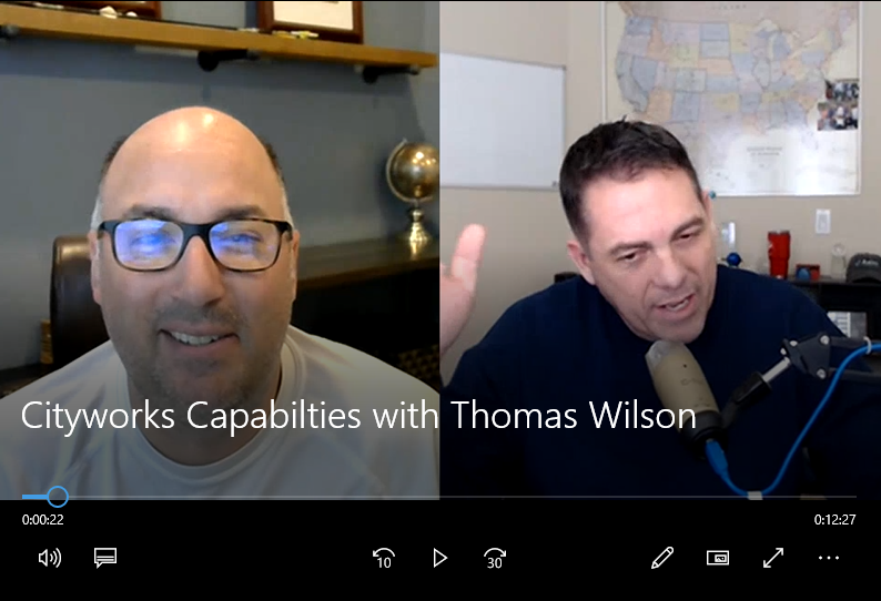
Learn more about Cityworks AMS and PLL in this Cityworks Overview VLOG.
Read More
Mark O'Neal | February 16, 2022
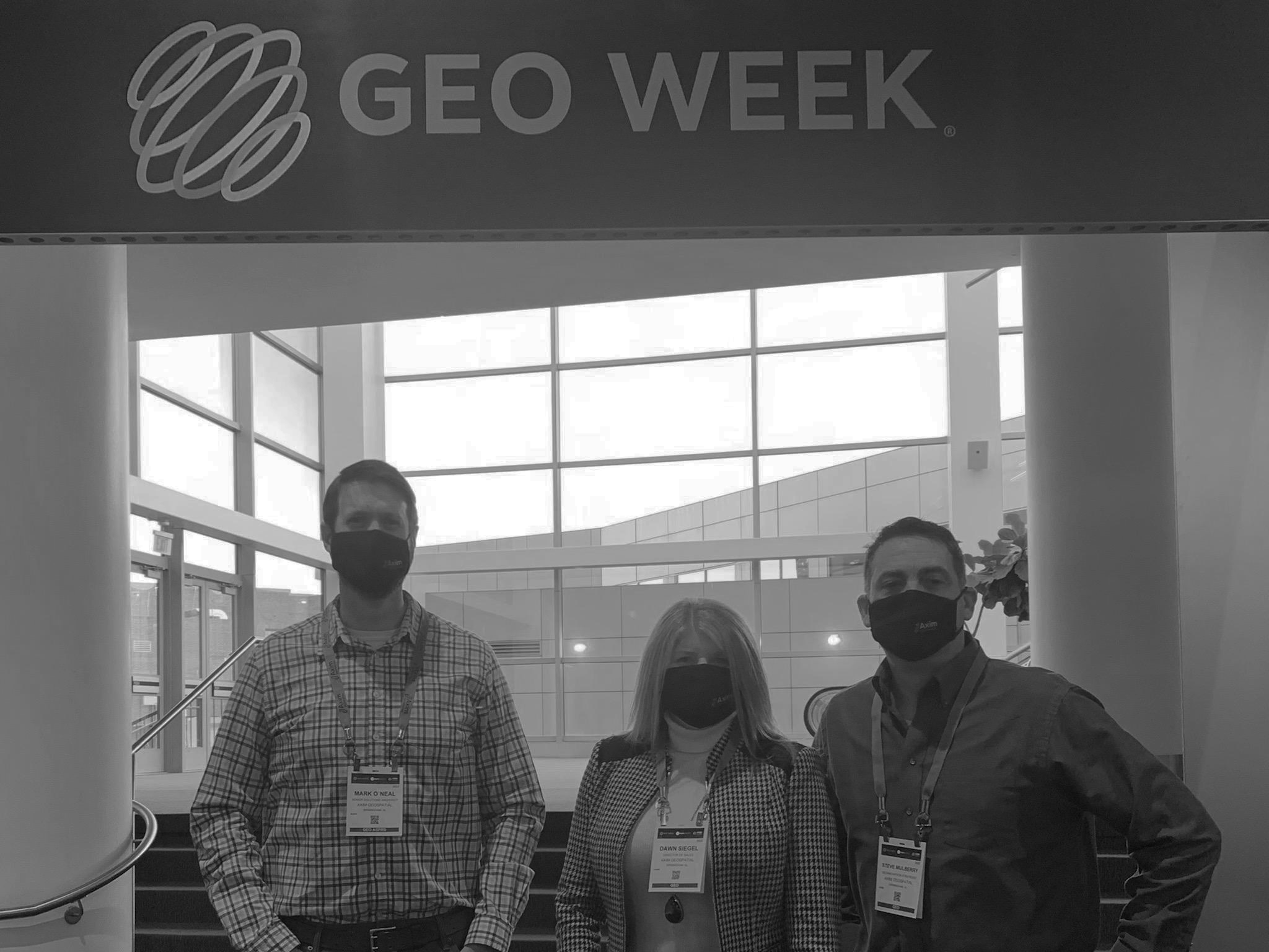
Get the inside scoop on Geo Week 2022. From lidar based reality capture and digital twin to the USGS 3D Elevation Program (3DEP) and the future of 3D topography projects, Mark O'Neal breaks down all you need to know.
Read More
Patrick Murn | January 5, 2022
Axim Geospatial’s mission is to use our expertise to provide clarity and solutions to help our clients solve the world’s toughest problems.
Read More
Patrick Murn | June 24, 2020
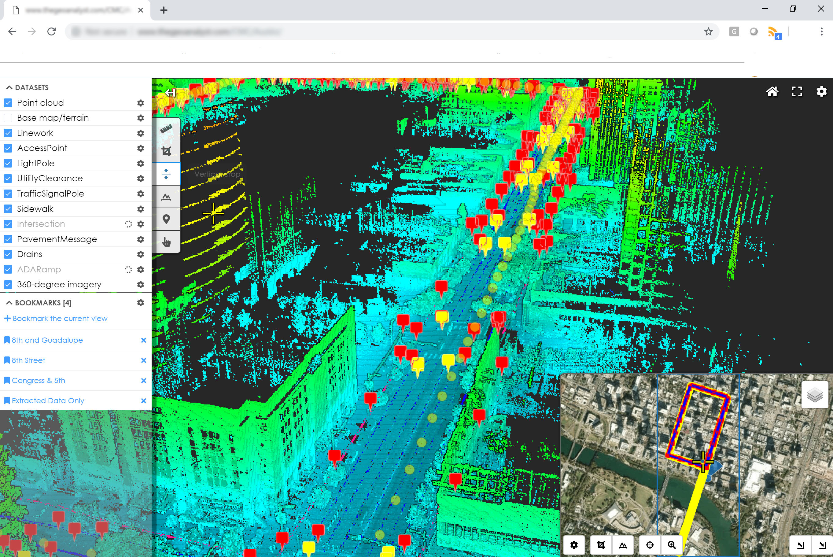
A cornerstone to effective asset management is having an understanding of what assets you have and where they're located. A geospatial asset inventory is a basis for that understanding which also feeds all sorts of other uses from emergency management, to compliance, to economic development.
Read More
Patrick Murn | March 4, 2019
OpenDRIVE is the basemapping program that’s pushing autonomous vehicles into the future of efficiency.
Read More


