This article may reference work, projects, customers, and contracts related to NV5 legacy companies before their acquisition by NV5.
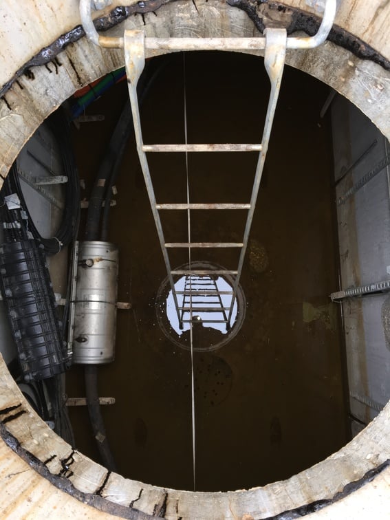
The ArcGIS Utility Network (UN) serves as a system of record for the assets of a utility, in many ways similar to its predecessor, the geometric network. While a UN and a geometric network can serve the same basic purpose of modeling utility assets, a UN is much more powerful, complex, and widely accessible. One advantage of the ArcGIS Utility Network is that it allows users to represent and model their assets in a more “real world” fashion. The UN is broken down into a structure network, and one or more domain networks. When a UN is built, a set of feature classes are created that model the structural features which support your utility. These features classes together are called the structure network. The structure network does not have any resources (such as water) flowing through it, but instead contains those assets that support resource flow. The structure network is a key component to manhole configuration in sewer and stormwater UN.


